Explore the map
Pick a layer and start exploring.
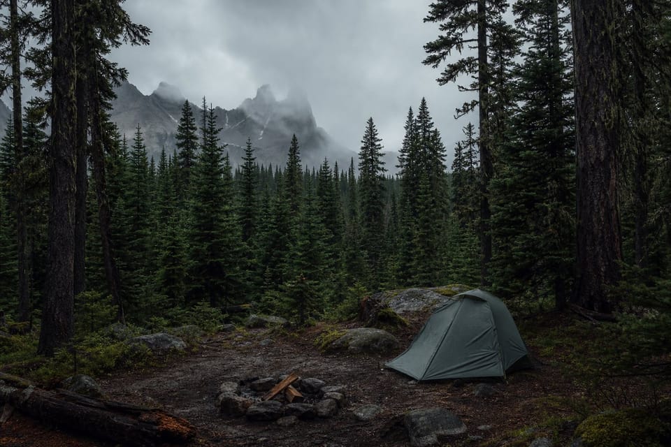
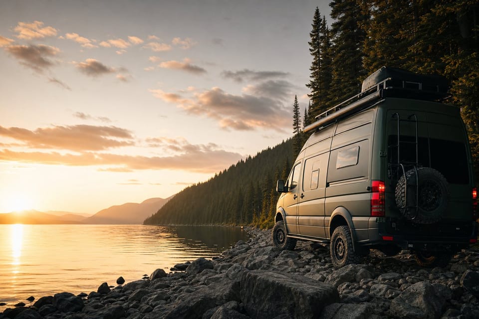
Free camping & Crown land
campsites campsites · candidates likely-free Crown candidates.
View layer arrow_forward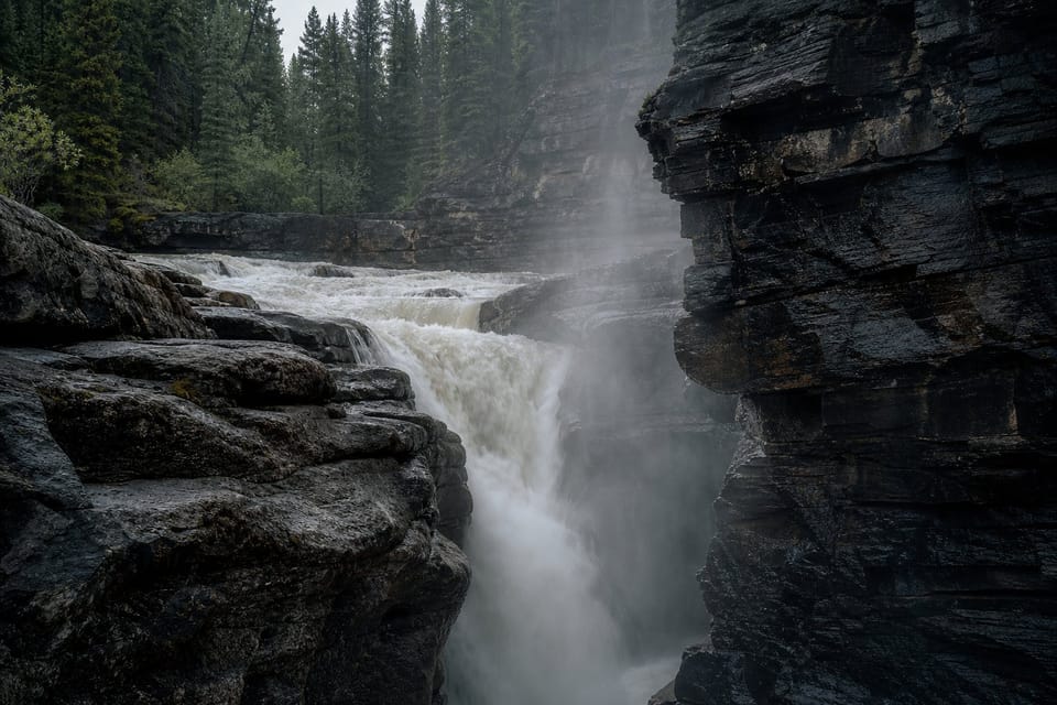
Roadside curiosities
scenic waterfalls, lighthouses, viewpoints & oddities worth the detour.
View layer arrow_forward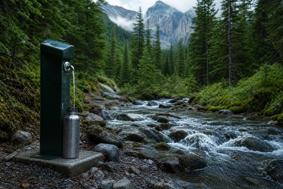
Service stops & water
services water, dump, shower, laundry & propane stops.
View layer arrow_forwardLatest From the Road Across Canada
See them live arrow_forwardFresh spots shared by travellers on the road right now — tap one to open it on the map.
Explore by region
Full live map arrow_forwardMapped campsites, Crown-land rules and live wildfire status for each region — the road ahead, before you commit. More regions coming.
Roadside curiosities worth the detour
How we forge the map
Government sources
Tier-A provincial & federal land, wildfire and weather data — never scraped.
Cross-checked
Every camp claim audited against an independent source by our Inspector.
Honestly labeled
Verified, likely, and unconfirmed shown as exactly that — never hidden.
Get the road ahead
New guides, fresh free-camping spots, and seasonal road intel — occasional, no spam, unsubscribe anytime.
Gear & partners we trust
Full breakdowns arrow_forwardSome links are affiliate or referral links — if you sign up or buy through them we may earn a small commission or credit at no extra cost to you. It helps keep the map free.