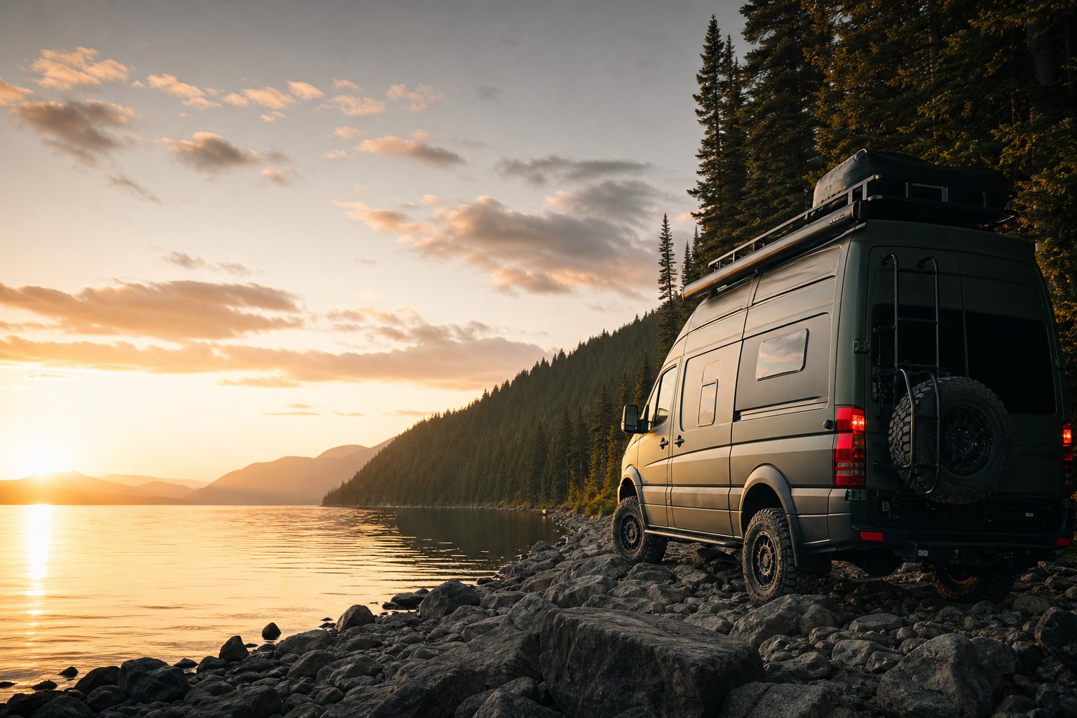
What this is
Muddy Tires maps free and low-cost places to camp, fill water, dump tanks, find propane, grab a shower, and break up a long drive — coast to coast across Canada. The core map and data are free, and will stay free. We pay for it with a few honestly-disclosed affiliate links and gear recommendations — never by paywalling the map or selling your data.
Most camping apps show you a pin and a vibe. We show you a pin and where the claim came from, because the difference between "free Crown land" and "park backcountry that'll fine you" is the difference between a good night and a bad one. Every legal claim traces to a source, and anything we can't verify is labelled as unverified rather than dressed up as fact.
What the camping badges mean
A BC Recreation Site — a government Crown rec site that's free or low-cost. We only call something "likely free" when a government source backs it.
Outside any mapped park (could be free Crown land or private — we can't confirm tenure from the data), or a conservation reserve. Treat it as "probably, but confirm on the ground."
Inside a provincial-park boundary, so it's backcountry that needs a reservation, permit or fee. Not free, even if it looks wild.
Community or OpenStreetMap data we haven't checked against an authoritative source. Useful, but unconfirmed.
Honest about the limits: most OSM campsites don't carry a "free" or "private" tag, so a site outside a mapped park gets VERIFY, not a free claim. Loading each province's government Crown-land layer (Ontario and BC are done; Quebec, Alberta and others are in progress) is how that gets sharper.
Where the data comes from
- Government open data (Tier A): Parks Canada, provincial parks (BC, Alberta, Ontario and more), Crown-land use atlases, BC Recreation Sites & Trails, Alberta Public Land Use Zones — all under Open Government Licences.
- Wildfire & weather: CWFIS (Natural Resources Canada) national fire perimeters and 24-hour hotspots, and Environment Canada weather alerts. An unset fire flag means "no active fire reported as of the last update" — never "safe." Fire bans change daily; always confirm locally before any open flame.
- OpenStreetMap (ODbL): campsites, water, dump stations, amenities and roadside curiosities, attributed and shown as community-sourced.
Claims get a freshness date and decay over time — a road-access note older than a Canadian freeze-thaw cycle is automatically downgraded to "unverified for the season" rather than left looking current.
Who runs it
Muddy Tires is built by a solo developer on the NxTLvL stack, by someone who actually travels this way. Follow the build and the road on Instagram @vamping_vampers.
A few honest answers
Is it really free? Yes — the map and guides cost nothing. Some links to gear and services are affiliate or referral links; if you buy or sign up through them we may earn a small commission or credit at no extra cost to you, and that keeps the lights on.
Can I trust a "likely free" pin? Trust it as a strong lead, not a guarantee. Land tenure, fire bans, and local bylaws change. The badge tells you how confident we are; the final check is always yours on the ground.
Do you sell my data? No. The newsletter list is used to send you guides and road intel, nothing else.